EVERGLADES BOATING DESTINATION INFORMATION
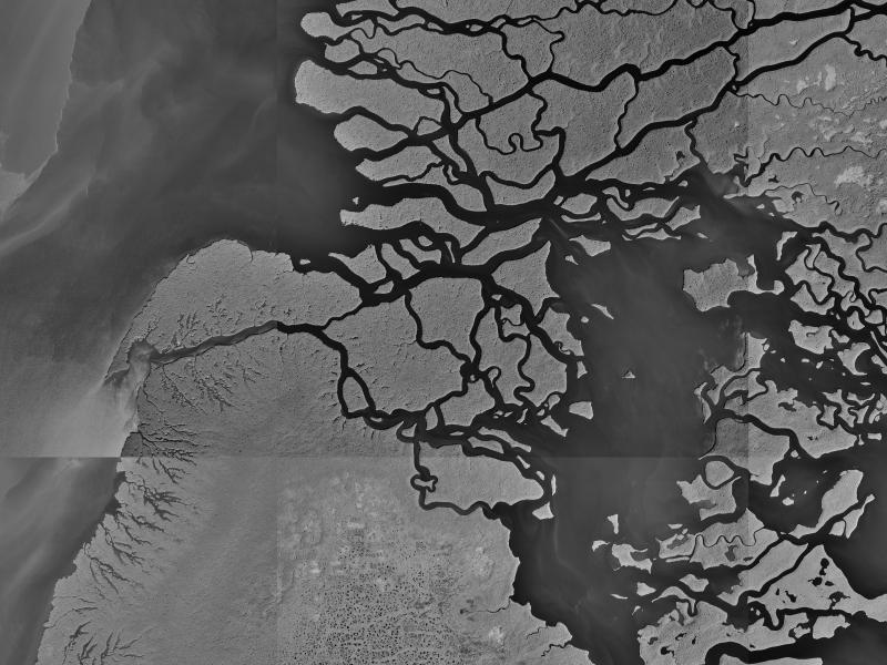
Compare this Satellite Photo to the charts to trace the channel back to Tarpon Bay (Tarpon Bay not shown here)
16 meter Satellite resolution
Back to TOP of MSPS Website
USE YOUR BROWSER BACK BUTTON TO RETURN TO THE PREVIOUS PAGE
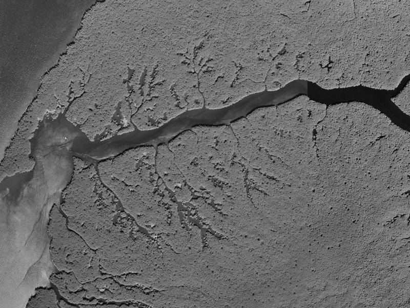
Closer view (below) of Little Shark River entrance. 3 meter Satellite resolution.
You can see a boat anchored in the bend to port as you enter the river.